Imagery
Source: historicipswich.net/
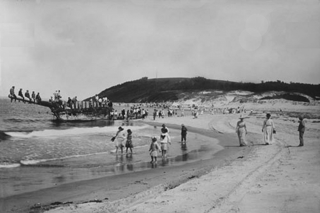
Historic Images
Historical images are a valuable resource because they provide a snapshot of the past. Historical photographs can be evaluated to determine the geography, environment and location of the site over time. |
Source: Annika Heinold
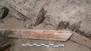
Reference Images
Reference images not only document a site but they can help archaeologists make 2D and 3D models of a site. Scale bars can help archaeologists measure features of a site when the site is not accessible, such as during the winter. |
Source: Stefan Claesson
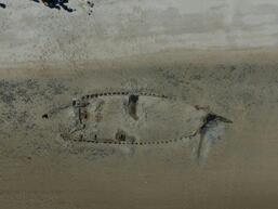
Drone Technology
Drones are an emerging technology that allow archaeologists to view and photograph a site from overhead. These overhead images can help provide an extremely accurate site map. |
Photogrammetry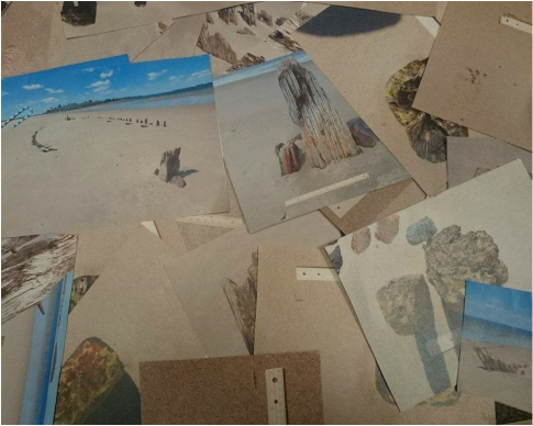
Source: Annika Heinold
|
Source: Annika Heinold
|
|
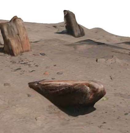
Archaeologists take HD videos of a feature on a site. The video is then broken down into thousands of individual photos. The photos from the video are then compiled to create a 3D model of the subject.
|
3D models allow anybody to visit a site, even if it's underwater. These models also help visually document features of a site so that archaeologists can record changes (weathering, degradation) over time. If a scale bar is included in the model it can be used to take measurements.
|
